Architecture, Engineering, & Construction Redefined
-
Pre Construction Documentation
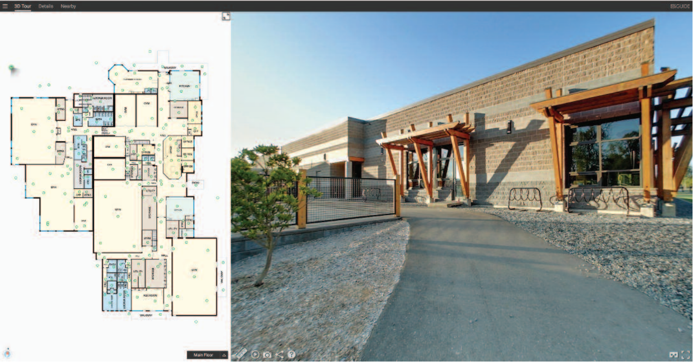
Property Scanning and DXF Floor plans from virtual scans can be imported into AutoCAD to create an accurate starting point for design. Capturing out of the boundaries of standard field take offs, 3D imagery eliminates return trips for missed details as project design progresses.
-
Construction Documentation
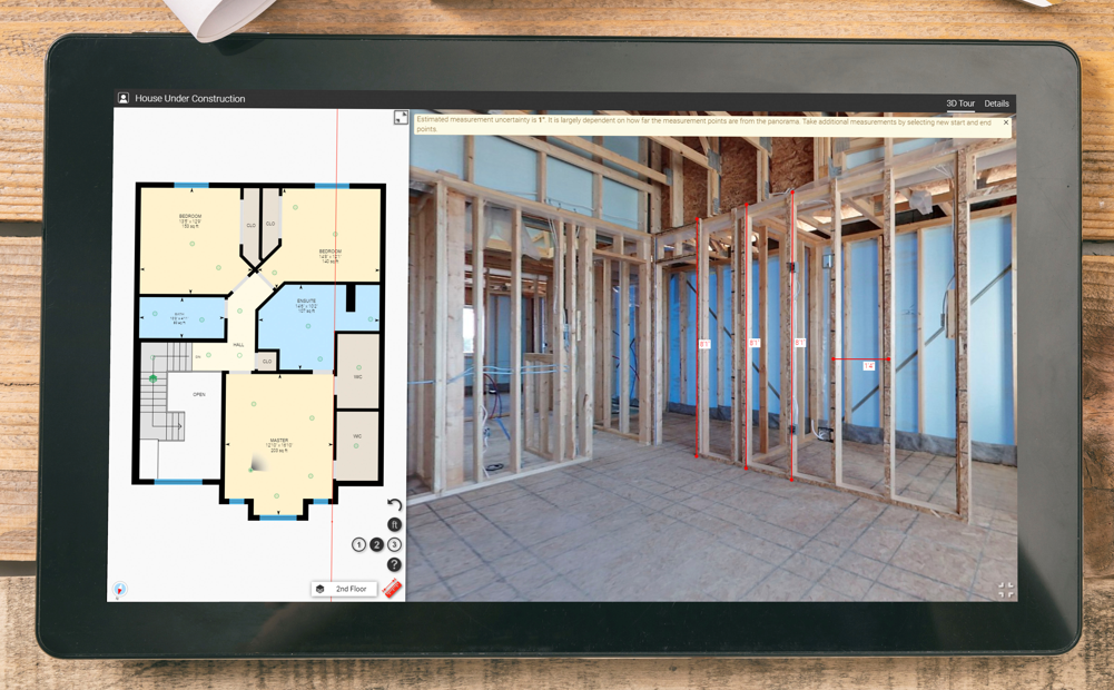
LiDAR property scanning allows the off site review between Contractors, Architects, Engineers, and Clients to offer maximum efficiency in construction meetings and punch listing.
-
Post Construction Documentation
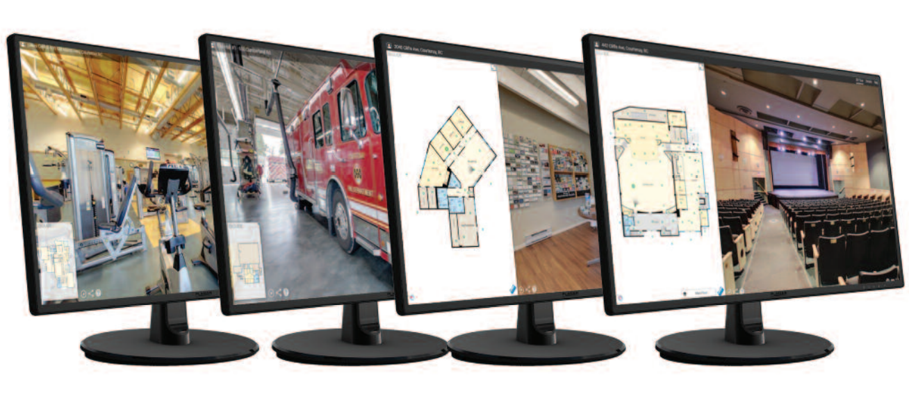
Provide Documentation of completed projects with virtual touring that can be used for Marketing, Facilities Training, and internal review. Secure areas can be hidden to maintain confidentiallity of specialized information.
-
DXF Export
LiDAR 2D Pointcloud Data is produced during 360 scanning which is then exported to a DXF format for easy transition to a CAD system format. Never waste time starting from scratch again.


